Devpost
Participate in our public hackathons
Devpost for Teams
Access your company's private hackathons
Grow your developer ecosystem and promote your platform
Drive innovation, collaboration, and retention within your organization
By use case
Blog
Insights into hackathon planning and participation
Customer stories
Inspiration from peers and other industry leaders
Planning guides
Best practices for planning online and in-person hackathons
Webinars & events
Upcoming events and on-demand recordings
Help desk
Common questions and support documentation
From fragmented data to informed action
Genie checks broken links on FCI's Resource Map so a dead website doesn't get mistaken for a closed food pantry.
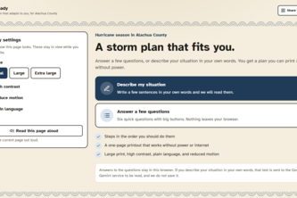
What do you feel when you think of hurricane season? Stress? Overwhelmed? Steady aims to ease those feelings and make sure that you can focus on the things important to you during uncertain times.
Historic Tunisia Reimagined
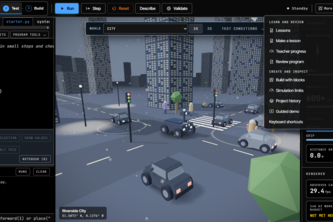
Prove your robot on Earth before you build it
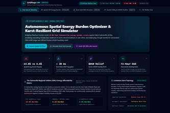
Autonomous spatial energy burden optimizer, karst failure DAG simulator, and multimodal Google Gemini utility auditor with offline passes for Alachua County.
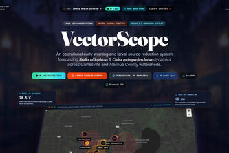
Autonomous GIS intelligence platform forecasting vector-borne mosquito dynamics across Alachua County watersheds using NASA STAC telemetry, CDC SVI, and Briére-1 thermal modeling.
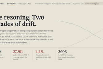
Equity Atlas reveals how enrollment, funding, staffing, and school choice shape opportunity across Alachua County—making inequities visible and helping East Gainesville advocate for change.
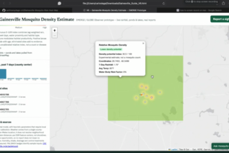
Interactive map designed to prevent Dengue and other mosquito-related illnesses by providing real time mosquito heat zones.
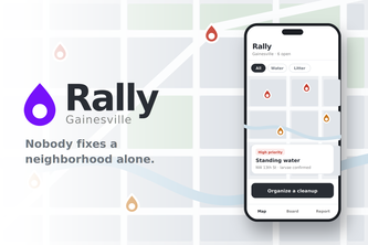
A community map where neighbors report local problems and turn any pin into a volunteer event, seeded with NASA GLOBE Observer standing water data.
Community-oriented database of charity and donation locations for the less fortunate. Aggregates and organizes charity data with emphasis on readability.
Ever in a panic due to the sky being blanketed in smoke due to a wild fires. Well no longer do you need to be scared as Emergency gainsville lists all emergencies in gainsville and their locations.
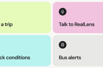
Know what's ahead. RealLens turns real-time road, weather, and transit data into spoken guidance so Gainesville's blind and low-vision community can commute with confidence.
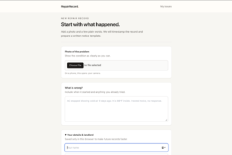
Turns a broken lease promise into a written notice, automatically.
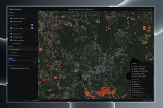
Why is our observation needed? This interactive map reveals current blind spots, empowers the public to start observing, and highlights UF GeoDI's ongoing research on critical climate health risks.
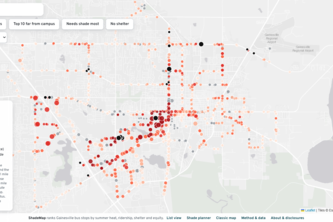
Ranking every Gainesville bus stop by heat, so shade goes where it's needed most.
Website to help students find the resources they need.
An adaptation of the textbook 2 curriculum, specifically the lesson on using the Random Forest model with GLOBE data and Satellite Embeddings.
Satellite embedding change detection for community science prioritization: improving the modeling utility of NASA GLOBE Observer data in Alachua County, Florida
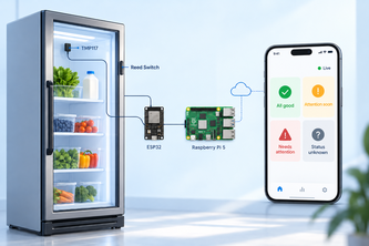
CommunityChill monitors temperature, door status, and connectivity so Gainesville Community Fridge volunteers know when the fridge needs attention, even when no one is there.
FairRoute reveals whether essential services are actually reachable rather than "nearby" and helps communities plan investments that improve access for the people most often left out.
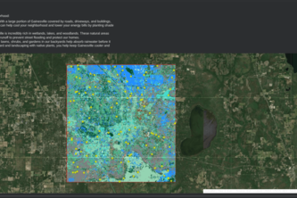
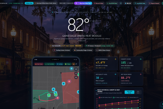
Hyperlocal Urban Heat & Civic Climate Resilience platform mapping Gainesville heat islands and mutual-aid infrastructure with NASA GLOBE and Google Gemini AI.
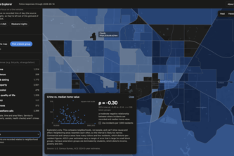
Gainesville's crime data, filtered to your question, with the the raw data
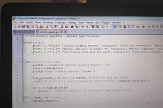
A quick community fix platform helps you report and solve problems easily. This community fix platform works smoothly so you can fix issues without hassle.
1 – 24 of 24